


Artist / Author / Cartographer:
Title:
Date:
Medium:
Size:
Description:
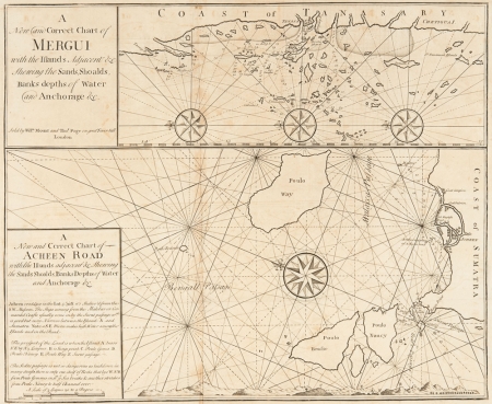
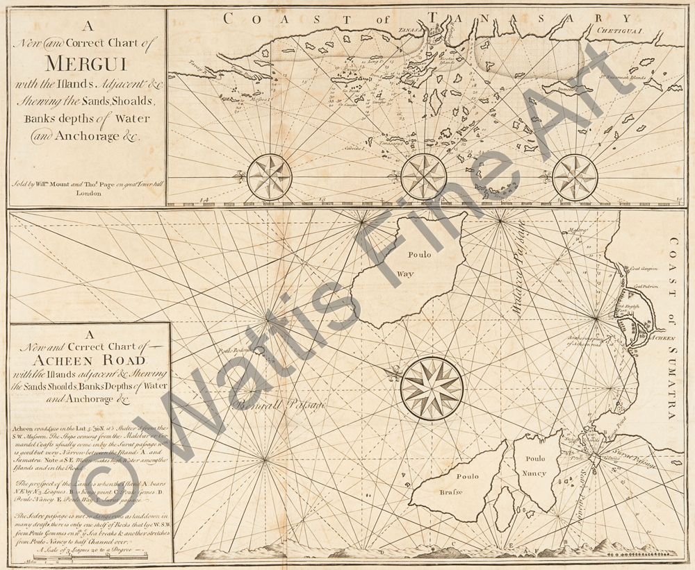
A new and correct chart of Mergui with the islands adjacent etc. shewing the sands, shoalds, banks, depths of water and anchorage etc. ; A new and correct chart of Acheen Road
A rare navigational chart of the southern coast of Burma on the upper part of the chart and Acheen and the northern coast of Sumatra on the lower part of the chart.
Oriented with north to the left and to the upper left.
2 maps on 1 sheet ; on sheet 50 x 73 cm.
Mount & Page was a firm of religious and maritime publishers that flourished in the 18th century. The name became well-known worldwide as an imprint of nautical charts.
The firm was founded in 1701 by Richard Mount (1654–1722) and Thomas Page. Mount had previously been in partnership with his father-in-law William Fisher (1631–1691) and inherited the business on the latter's death. William Mount (1688 -1769) took over from his father in 1722 going into partnership with his uncle Thomas Page. As Mount & Page the firm flourished throughout the 18th century and made the fortunes of both families, helped by government contracts. Successive generations of Mounts and Pages worked in the business, and the families intermarried. One of its staple titles was Navigatio Britannica by John Barrow, published in 1750 and still being advertised in 1787. By the 1760s, Richard Mount's grandson John Mount (1725–1786) was able to retire to Berkshire where he built Wasing Place. John's son William (1753–1815) was the last to work in the business, and later generations went into politics.
Wikipedia
No copies listed on WorldCat.
References:
Item Code:
attachment:
