Artist / Author / Cartographer:
Title:
Date:
Medium:
Size:
Description:
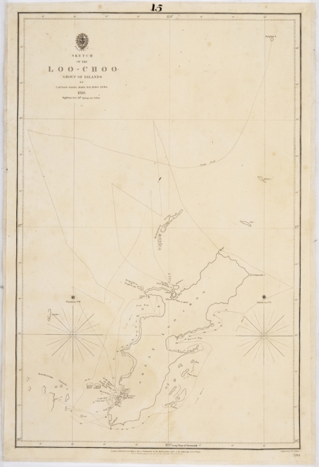
Sketch of the Loo-Choo Group of Islands by Captain Basil Hall R.N. H.M.S. Lyra 1816. Published by the Hydrographic Office of the Admiralty Feb. 18th 1840. Chart no. 1261.
Is a neat little chart, shewing at one view the Great Island and the positions of its principal harbours Napakiang and Port Melville, in their exclusive and reserved condition
A hydrographic chart of the Loo-Choo or Ryukyu Islands surveyed by Captain Basil Hall on H.M.S. Lyra. The largest of these islands is Okinawa. Captain Hall in HMS Lyra was part of the Amherst Expedition to China. He cut his surveying teeth with this map of the Ryuku Islands in 1816.
Reference
The Nautical Magazine and Naval Chronicle 1840
Davies, Stephen Note 94 - Counter-current: the move from private to public in the provision of British charts and pilots in the China Seas”
References:
Item Code:
attachment:


