







Artist / Author / Cartographer:
Title:
Date:
Medium:
Size:
Description:
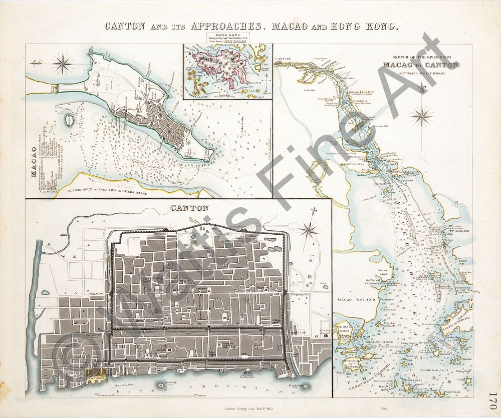
Canton and its Approaches, Macao and Hong Kong. Published, London, George Cox Jany. 1st 1853
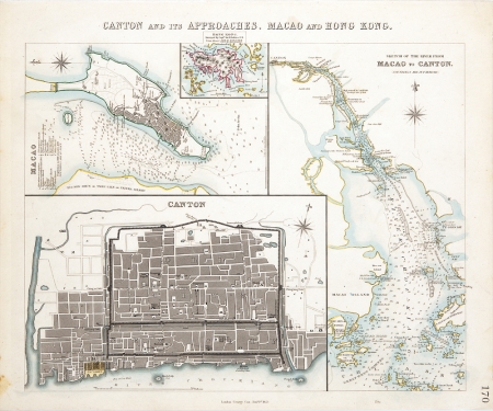
A map showing the Pearl River Delta area in the mid-nineteenth century. Insets to the left of the page show Canton, Macao and Hong Kong. To the right of the page is Sketch of the River from Macao to Canton (Soundings are in fathoms). Each map has a compass rose indicating north. Both Canton and Macao are fairly detailed and show major landmarks and streets.
In the plan of Canton the French Folly Fort is depicted . In later states of this map this fort mysteriously disappears.
In the plan of Macao the Praya Grande is shown with Forts St. Francisco, S. Pedro and Bompato. Ft S. Iago de Barra appears at the tip near Barra Pagoda or Ama Temple.
Hong Kong surveyed by Capt. Sir E. Belcher, Point Albert - 22o,16', 27" North Latitude, 114o, 10', 18" East Longitude is the title above the a map of the island shown in a small box at the top of the page. Point Albert would later become Wellington Battery, then Tamar.
George Cox was a London publisher who worked at 18 King Street, Covent Garden. He issued an Atlas for the Diffusion of Useful Knowledge 1852 - 56.
Tooley's Dictionary of Mapmakers, Revised Edition A-D Map Collector Publications 1999
References:
Item Code:
attachment: