


Artist / Author / Cartographer:
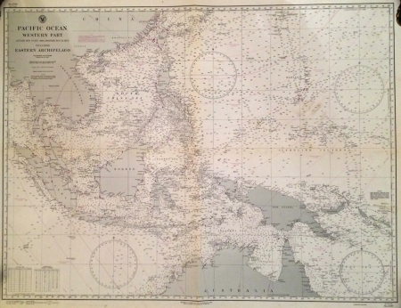
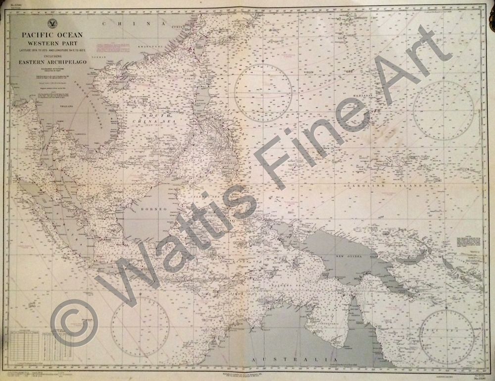
U.S. Navy Hydrographic Office
Title:
Pacific Ocean Western Part - Eastern Archipelago
Date:
1944
Medium:
copper engraving
Size:
77.5 x 102.5 cm
Description:
Pacific Ocean Western Part - Latitude 28'N. to 20'S. and Longitude 94'E. to 160" E. Including Eastern Archipelago
Soundings in Fathoms. Heights in Feet.
Originally published October 1931. 3rd edition 1942. Small Corrections June '44. Chart No. 5590
A detailed US Navy hydrographic chart of the West Pacific Ocean with South East Asia from WWII.
References:
Item Code:
MA7546
attachment:
