Artist / Author / Cartographer:
Belcher, Captain Sir Edward
Title:
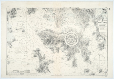
Hong Kong
Date:
1953(1960)
Medium:
lithograph
Size:
61.5 x 92.5 cm
Description:
China - Hong Kong. Chart No. 1466. A hydrographic chart after the original survey conducted by Captain Sir Edward Belcher in December 1841 with numerous updates to June 1953 and with small corrections to 1960. The map was published by the Hydrographic Office of the Admiralty, London. It was originally engraved on copper in 1843.
A detailed hydrographic chart of Hong Kong Island and surrounding waters based on numerous Royal Navy surveys to 1960. This map would have been the most accurate map available on this scale for its time. Interesting that the original survey by Captain Edward Belcher was still being used as the template for hydrographic maps into the 1960s.
References:
Item Code:
MA7800
attachment:


