Artist / Author / Cartographer:
Brion de la Tour, Louis
Title:
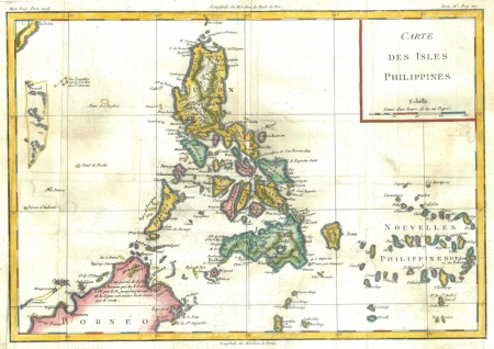
Carte des Isles Philippines
Date:
c1770
Medium:
copper engraving, later colour
Size:
24 x 34.5cm
Description:
An attractive map of the Philippines from the second half of the eighteenth century.
Louis Brion de la Tour was a French geographer who became "Ingenieur-geographe du Roi". He worked in Paris and published a number of maps and atlases. He was later joined by his son and together they produced a number of maps at the end of the eighteenth century.
References:
Item Code:
MA6099
attachment:


