


Artist / Author / Cartographer:
Title:
Date:
Medium:
Size:
Description:
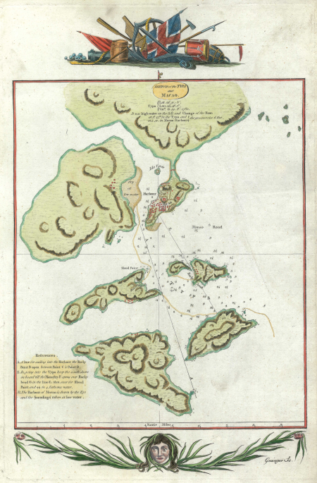
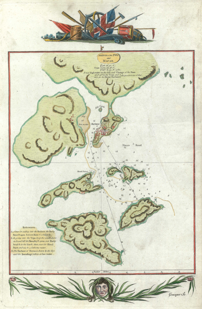
A late eighteenth century map of Macau based on information acquired by the surviving entourage of Captain Cook's third voyage. This was on their homeward voyage after an epic journey through the Pacific Ocean or Great South Sea. Captain Cook's third voyage into the Pacific was when he was killed in Hawaii on February 14th 1779. On the ships Discovery and Resolution's return journey to England they called at Macau. As a result a map of Macau was published c.1784. The map was engraved by Grainger.
It is possible this map was drawn by either, Lieutenant Henry Roberts who produced many maps and charts on the voyage, or by William Bligh when he was master of HMS Resolution and was known to have surveyed Macao. The famous ‘Mutiny on the Bounty’ was nearly 20 years later in Bligh’s career.
References:
Item Code:
attachment:
