Artist / Author / Cartographer:
Stanford, Edward
Title:
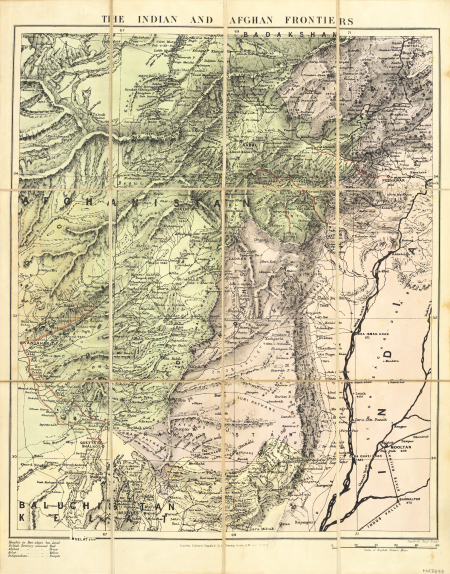
Map of the Indian and Afghan Frontiers
Date:
Oct 1st
Medium:
lithograph, printed in colour
Size:
56 x 44 cm.
Description:
A folding Map of the Indian and Afghan Frontiers in original red canvas covered hard cover and with Stanford's yellow label.
A twelve-sectioned cavas backed folding map published London: Edward Stanford, 55 Charing Cross on October 1st 1878.
A scarce map of the Indian and Afghan Frontiers in 1878.
References:
Item Code:
MA7848
attachment:


